Interactive Map
Using the Interactive Map
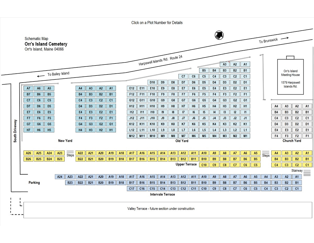
The interactive map displayed below provides access to graphical representations of each plot in the cemetery, including links to images of the stones on that plot. Each plot is located at an address comprised of section name, row letter and column number. Row letters increase from west to east, column numbers increase from north to south. Within each plot the lot numbers increase from north to south.
Clicking a plot address on the map opens a window with information about that plot and the lots in that plot, including plot owner, occupants of the lots and links to images of any stones on the plot.
Click the Available Lots link for the list of unsold lots.